


Live Data
Live Data
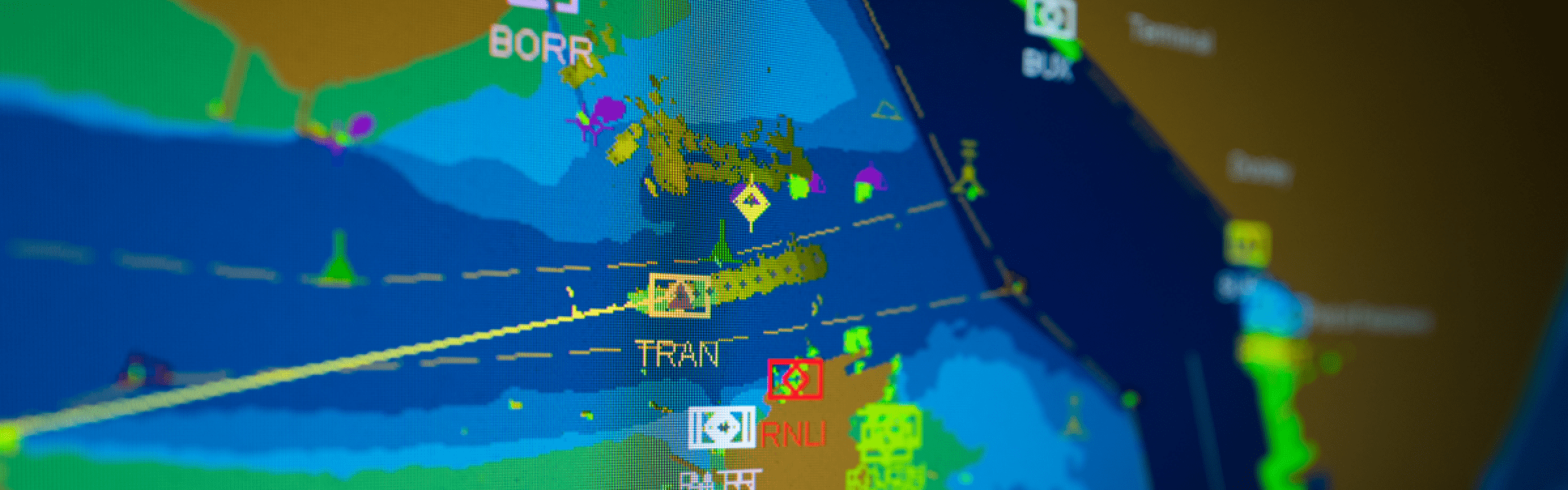
Using data generated by our internal systems we offer mariners live, up-to-the-minute hydrographical, meteorological and vessel movement data.
In response to stakeholder feedback we have created a live data ‘hub’, which provides both commercial and leisure users with the information they need to use the Haven safely.
Users can access vessels movements, wind speed, tidal prediction, wave height and temperature data in clear, easy to view formats.
All times are adjusted for british summer time (BST).
Sensor locations

| No. | Location | Sensors | Position (lat/lng) |
| 1 | Mistley | Tide Height | 51.945307 / 1.0868874 |
| 2 | Erwarton Beacon | Wind speed, direction and gust Temperature (Sensor Height 10.5MT ACD) |
51.9518955 / 1.22056751 |
| 3 | Harwich/Harwich Harbour Master Jetty (Angel Gate) | Tide height Wind speed, direction and gust (Sensor Height 10MT ACD) |
51.947017 / 1.289981 |
| 4 | Landguard | Wind speed, direction and gust (Sensor height: 16.3 ACD, 11.5MT above Ground) |
51.935818 / 1.3177108 |
| 5 | Wadgate Ledge (Felixstowe) | Tide height | 51.933552 / 1.3442979 |
| 6 | East Fort Massac (Approach) | Wind speed, direction and gust Tide height Wave height Temperature |
51.881918 / 1.5410323 |